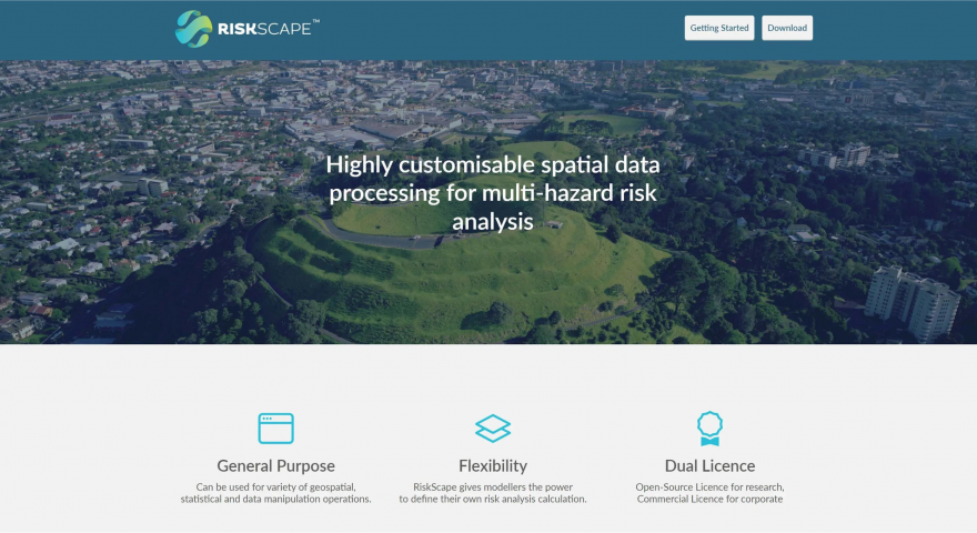
What is RiskScape™?
RiskScape™ is an open source tool with a flexible modelling engine for processing geospatial data for risk analysis, built by Catalyst in collaboration with NIWA(external link), GNS Science(external link), and Toka Tū Ake EQC(external link).
How is RiskScape™ used?
In the days leading up to the Auckland floods and Cyclone Gabrielle, RiskScape™(external link) was used to plan the response to the events to determine where the impacts would be felt worst. During the events, scientists added rainfall data to give estimates of impacts and highlight areas of particular risk.
The models were originally made for Auckland for the heavy rainstorm. The information was used for planning how to respond to the adverse weather events, allowing emergency groups to plan and send people and resources to where they would be needed most.
The models were generated twice a day to help guide emergency response. Before RiskScape™ it would have taken a number of days to produce a model, but using RiskScape™ they were able to get information where it was needed as the Auckland floods and Cyclone Gabrielle were happening, allowing them to prepare and respond earlier and faster. By inputting various data about the weather and the land, scientists were able to forecast which roads were likely to be damaged or cut off. The information was especially useful for areas where communication was cut off.
“We’re stoked that people are using it in action, and during the response to the floods our people were available to help the scientists double-check their models,” says Russel Garlick, Catalyst RiskScape™ Delivery Lead. Because of the work already done on the RiskScape™ solution, it was easy for the researchers from GNS Science and NIWA to use it when it was needed.
What is the future of RiskScape?
Lots of work is being done to make RiskScape™ available to help people make better decisions about land use based on risk. This has a wide range of uses from insurance to planning.
RiskScape™ partners are now looking at ways that RiskScape™ can be used to support recovery. “We have the ability to help quantify the impacts of these events on the current state and future developments,” says Russel.
See sample maps and read more about the recent use of RiskScape™ in Auckland(external link).
Main photo by Alan Tunnell of a slip in Titirangi after the heavy rain in Auckland, from RNZ(external link).

