Background
GNS Science and NIWA are both Crown Research Institutes. GNS Science’s purpose is to understand natural Earth system processes and resources and translate these into economic, environmental and social benefits. NIWA’s mission is to conduct leading environmental science to enable the sustainable management of natural resources for New Zealand and the planet.
GNS Science(external link) and NIWA(external link) development teams built an app and released the RiskScape™ project, which has been around since 2004. This version of RiskScape™ contributed to multiple research projects and informed many natural hazard risk decisions over the years. However, it did have limitations from being built on technologies from the early 2000s and included hard-coded data, making the system inflexible.
Challenge
Catalyst was already working at GeoNet, so the RiskScape™ Governance Group asked us for an independent review of the RiskScape™ software. We reviewed both the code and what actions were happening governance-wise. One of Catalyst’s suggestions was to use a third-party development team and maximise the opportunities to use the expertise and skill set that a specialist development partner brings. GNS and NIWA went to market for the software upgrade project, and Catalyst won the tender.
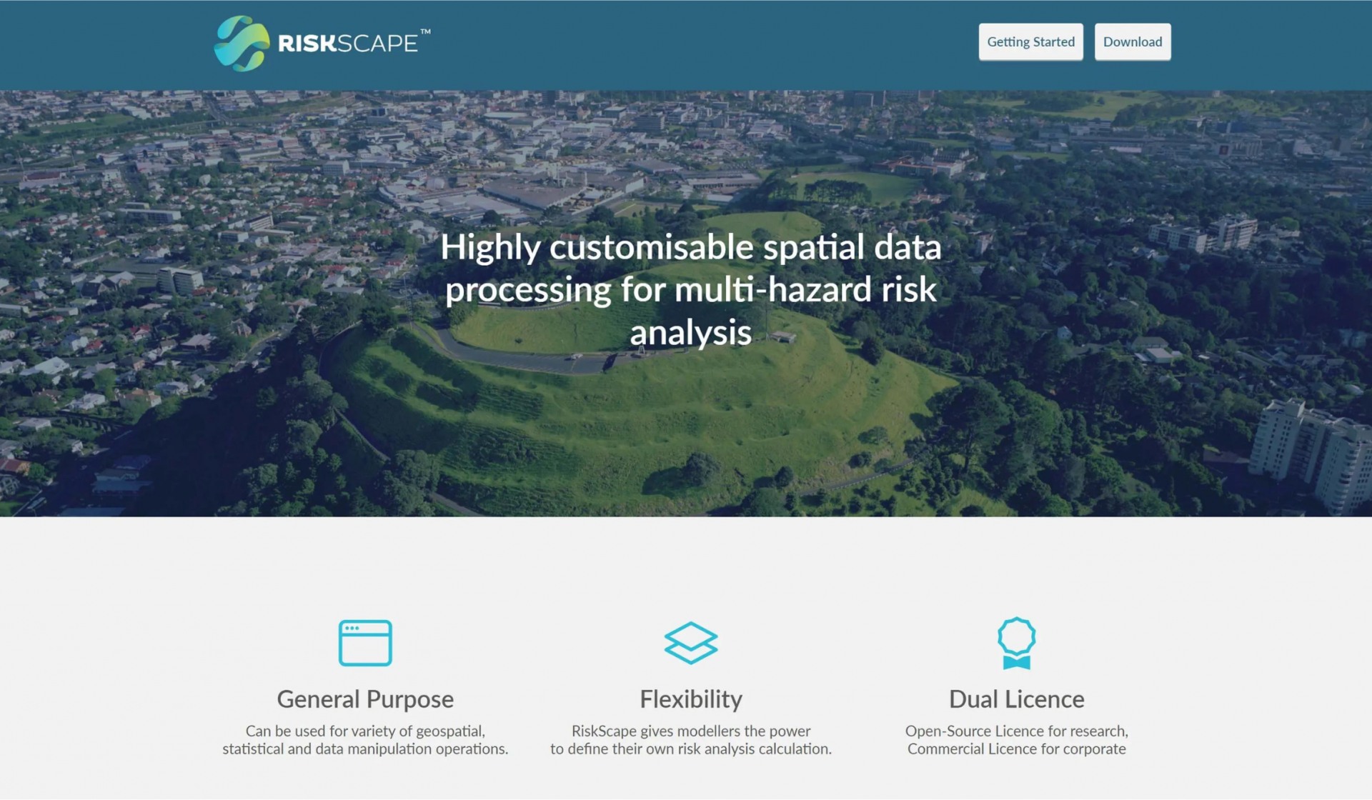
RiskScape™ is open source software with a flexible modelling engine for processing geospatial data for risk analysis.
It is highly customisable and can process multiple hazards and their relationships. For example, how might flood depth affect a timber-framed house on a concrete base compared with a brick house on a timber base, and what the additional impact of the flow rate is. To make these calculations data can be input from a raster image that shows the depth of flooding and vector data containing building footprint and construction information. Then you can ask, what are the adverse consequences for houses exposed to flooding?
Scientists could run these calculations longhand by using data and writing their own scripts, but RiskScape™ uses advanced geospatial processing functionality with native support for multiple data types to assist natural hazards experts with their risk analysis. Scientists can either:
- defining their models themselves using the RiskScape™ expression language, Java and Python
- using a step-by-step wizard that takes them through a more guided process.
One of the things Catalyst did at the beginning was take everyone on the project through our Agile and Product Owners Fundamentals training. The training provided an opportunity to think about how we were going to work together, and we were able to practise that. Plus, it gave GNS and NIWA insight into how we work, and we could learn each other’s jargon to help the project run smoother. The Agile methodology fits well with scientific methods as you have an idea, implement it, measure the impact, and then make changes.
After development started, it became clear other organisations and people were interested in using the software outside of NIWA and GNS. EQC approached GNS to come on board as a funder. EQC wanted to replace its existing modelling tool, Minerva, with RiskScape™.
Solution
Catalyst worked closely with the teams at NIWA and GNS on this project. Our team loves working with the scientists as they have hard problems to solve and they don’t tell us how to solve them. Instead, they describe the problem and the team at Catalyst figures it out, which made it a collaborative project.
The RiskScape™ software was released under AGPL to stay available for research. AGPL requires the distribution of any code changes, even if people are using it on their server. AGPL sets the tone that people can take software and use it but must keep sharing it forward. This was particularly important when EQC came on the project as a funder, as they wanted to improve our resilience to natural hazards by ensuring everyone has access to information that will help them make decisions.
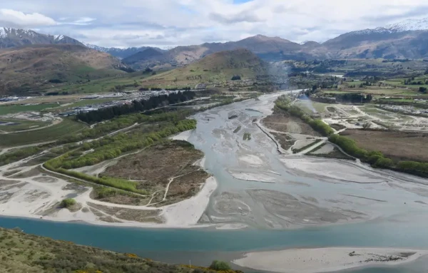
RiskScape™ has many potential uses. It has been utilised recently for land-use planning decision-making. Regional council’s contract GNS and NIWA to find out if it’s safe to build; will a location and buildings be exposed to natural hazards like landslides or flooding?
The Earthquake Commission (EQC)(external link) uses RiskScape™ to analyse New Zealand’s residential building stock’s exposure to earthquakes. Understanding natural hazards and their potential impact is vital for New Zealand’s physical and economic security. Loss modelling helps EQC understand the impact of a disaster by providing realistic estimates of likely damage and loss. Plus, it can post-event model to provide near-real-time loss estimates and the spread of damage. These insights enable the insurance and emergency response sector to quickly understand the scale and spread of damage after an event. Additionally, Riskscape can model potential natural disaster scenarios to plan how to respond, build community resilience, and set the EQC levy rate.
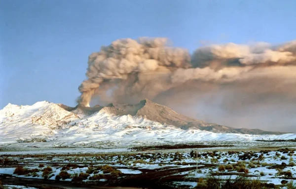
The sophisticated risk-modelling tool was used when the Hunga Tonga–Hunga Ha‘apai volcano erupted in Tonga(external link) in January 2022, sending ash into the upper atmosphere and triggering a destructive tsunami. Scientists feed in data about the volcanic ash fall and model the impacts of three hazards: the ash fall, tsunami, and sonic boom, so when communications were re-established with Tonga, they could provide that data. Plus, RiskScape helped inform aid agencies globally to gauge what level of aid they needed to send to Tonga.