Background
The Crash Analysis System (CAS) is the primary tool for capturing key information on road crashes. The system enables users to analyse and map crashes, identify high-risk locations and monitor trends and crash sites.
Opportunity
The New Zealand Transport Authority (NZTA) needed to revolutionise CAS, used by engineers, policymakers and researchers around New Zealand to make our roads safer.
Solution
The New Zealand Transport Authority (NZTA) partnered with Catalyst and Orbica to rebuild CAS.
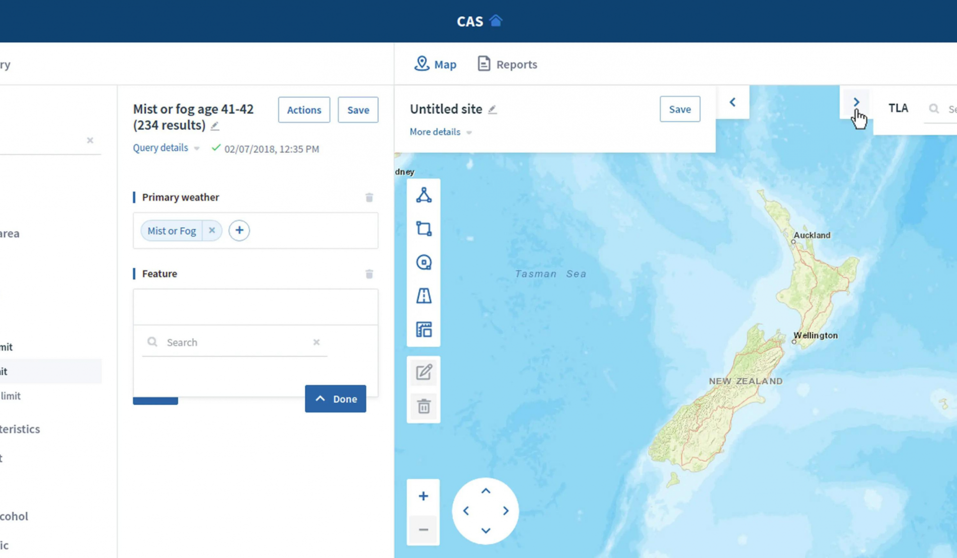
Using open source geospatial tools, CAS presents the data of every crash reported by Police from 1980 to today. The system uses maps and reports that can be interrogated for detailed analysis to support:
- road planning,
- policing,
- policy initiatives,
- and other critical activities that contribute to safer journeys.
CAS is a complete rebuild of the twenty-year-old system using modern, web-based technologies and user interfaces. CAS integrates complex historical crash datasets with geospatial data to produce mapping and analysis tools.
The new system effectively brings together Business Intelligence (BI), traditional reporting and geospatial visualisation in one intuitive application.
The system elegantly handles multiple layers of data, not just flat files, and users can query at any level. Plus, users can display results visually on a map and run reports associated with the query.
In ensuring that the data from historical crashes is accessible and interrogatable via mapping tools or reports, NZTA acts as a responsible kaitiaki of that data.
From using open source tools to build an intuitive interface to query the data, CAS is available to more than 1000 authorised users without restrictive licensing fees. Plus, it provides a level of assurance about the future resilience of the tool.
Innovation
The project was innovative in a number of ways:
- Component architecture separating the police data capture and data management application component from the visualisation and reporting component, linked through an NZTA enterprise ‘Data Vault’.
- A procurement phase for the Reporting component included a paid Proof of Concept so risks could be identified early and decision-makers were confident in the approach and the technology.
- User-led design process with frequent collaboration with a user group from across the country, representing public and private sector users.
- Agile delivery focuses on the prioritisation of features by the users and those deemed by the business to provide the highest value.
- Progressive releases of functionality for validation of the approach and a gradual, low-impact cut-over of the user base to the new system.
- Completely open source technology stack, ensuring no vendor lock-in and the ability to continue to adapt and evolve the product with changes to legislation, the operating environment or user demands.