Background
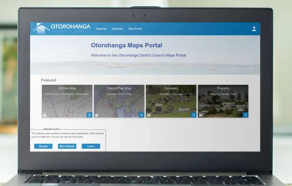
Otorohanga District Council (ODC) wanted to provide easy-to-access information about property valuations, District Plan provisions, public water infrastructure and more.
Opportunity
ODC(external link)’s previous vendor could not provide local service and support to fit ODC's business needs. Nor was ODC able to adapt the closed source proprietary software.
Solution
Catalyst GIS Core enabled ODC to easily publish:
- maps and dashboards,
- property valuation information,
- District Plan provisions,
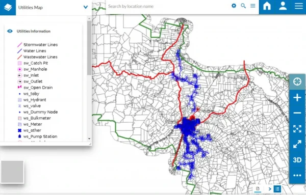
- public water infrastructure,
- and other important datasets held by the Council.
Trevor Penwarden, Information Officer at ODC, said: “Thanks to the power of open source and our relationship with Catalyst, we are now able to invest in developing features that we require, rather than paying licence fees to a vendor whose development roadmap is out of our control.”
The published maps are fully interactive and accessible on desktop and mobile devices. End-users can:
- search for addresses or custom parameters (such as their rating ID),
- zoom and pan across the map,
- add annotations and measurements,
- share permalinks,
- and print the current map view into PDF reports for future reference.
Trevor says, “We now find it easy to publish our data online to the public and other customers in a managed system. The data is accessible, able to be maintained and shared in many forms.”
GIS Core appealed to ODC as it enables their authorised users to easily use the map portal to create, edit and delete map features directly from their browser. The website provides a simple interface to create features and a form-based table for users to enter data. ODC can choose frompre-defined base layers. For instance, aerial imagery, NZ Topo Map and OpenStreetMap to simplify map interactions. GIS administrators can also add custom validation and dropdown boxes to fields to ensure data consistency and avoid data entry errors. Therefore, data entry becomes a simple process even for staff without prior training.
With GIS Core, ODC’s administrators can combine self-hosted and external data (for example, from LINZ, NZTA and other sources) into ready-made maps and dashboards. Thus, administrators can easily build feature reports based on dynamically updated maps, charts, and counters. Plus, they can export reports as images or spreadsheets.
GIS Core has enabled ODC to provide easy and accessible spatial data to its residents and businesses.